
Vision-Based Tech to Replace GPS — 2026 Field Tests
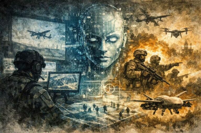
GPS-Denied Navigation: Frontline Impact
Modern forces plan around satellite navigation. However, jamming, spoofing, interference, and terrain masking can break that link quickly. When GPS fails, units lose position, heading, and a shared reference for coordination. Consequently, teams slow down, repeat checks, and accept more risk. Therefore, “assured PNT” has become a practical requirement for drones and dismounted troops operating in contested environments.
Niantic Spatial: Camera-Based Ground Localisation
Niantic Spatial, a San Francisco–based geospatial AI firm, uses visual localization to estimate where an operator stands and which way they face. In practice, it aligns a live camera feed against a large map library, then calculates position and orientation based on matched features. Moreover, Niantic says its visual positioning can switch between public maps and private maps, which supports controlled basemaps for sensitive sites.
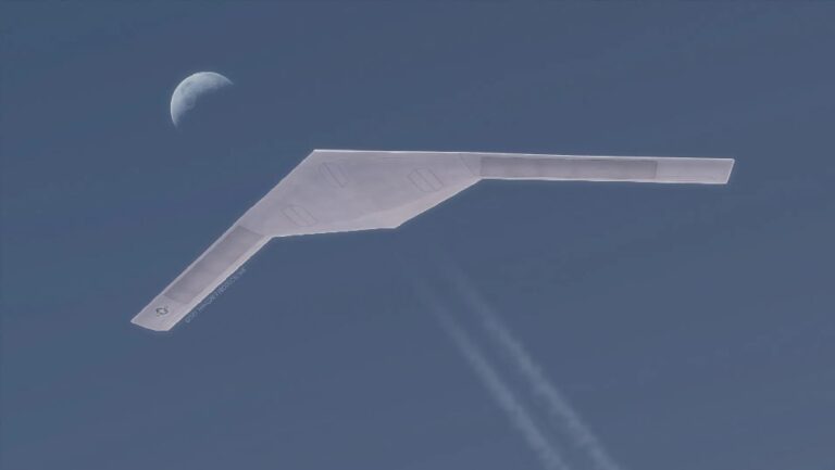
Vantor Raptor: 3D-Aided Aerial Localisation
Vantor applies the same principle in the air. Its Raptor technology uses sensors and EO/IR video to compare what the drone sees with detailed 3D models of the environment. As a result, a drone can regain an absolute coordinate solution without satellite signals. The vendor says Raptor has demonstrated absolute accuracy of less than 7 meters (23 feet) in all dimensions for aerial position.
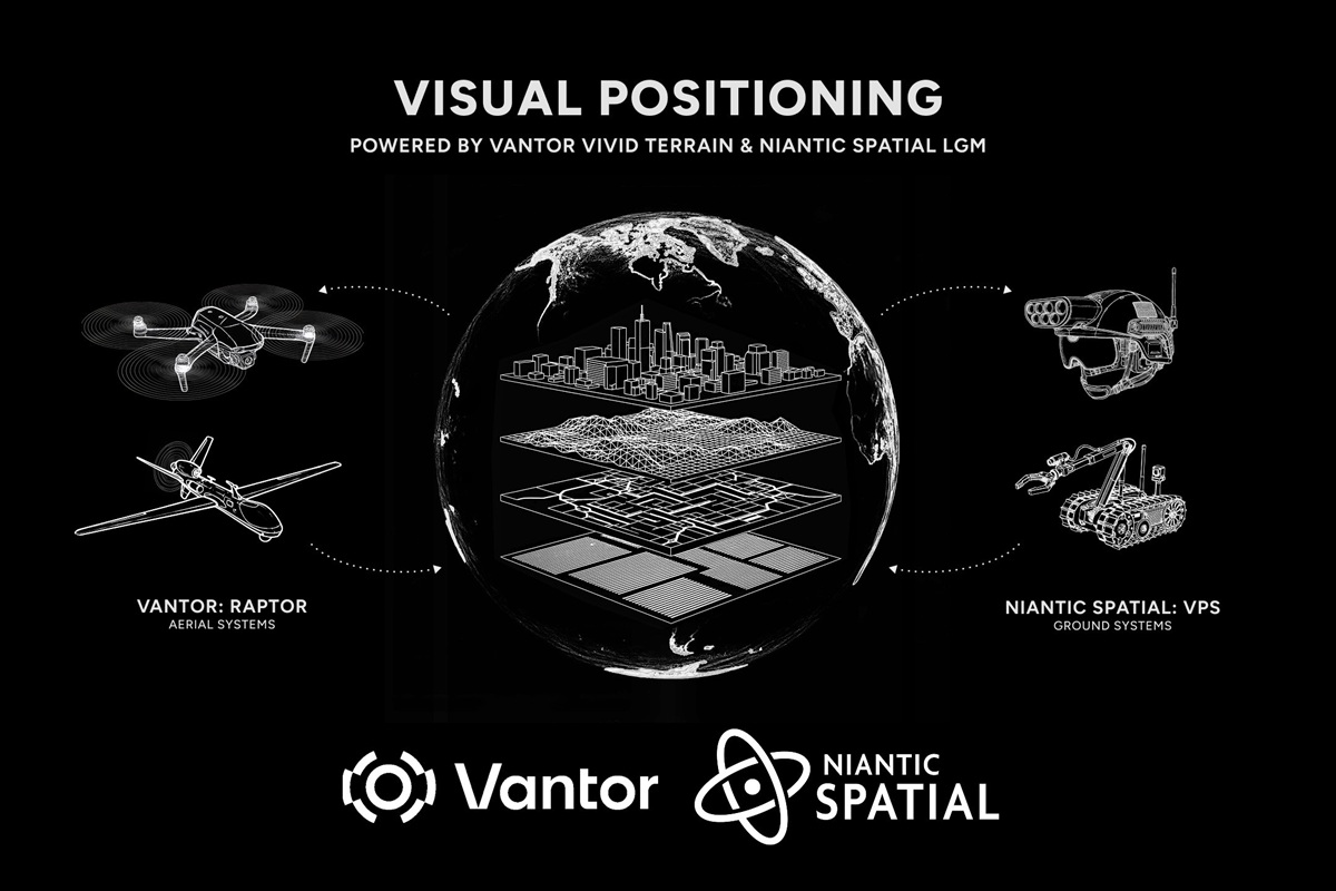
Shared Coordinates for Drones and Troops
The partnership aims to merge Niantic’s ground stack with Vantor’s aerial stack into one positioning layer. Consequently, an airborne EO/IR feed and a soldier’s camera can reference the same terrain model in real time. Niantic CTO Brian McClendon said the combined approach builds an integrated positioning network that can operate anywhere, while Vantor Chief Product Officer Peter Wilczynski framed Raptor as GPS-independent autonomy in the air extended to the ground.
Crucially, the companies say they plan to field test the unified system in early 2026, which should give the defense community real error bars and timelines instead of slides. This scenario is where vision-based tech to replace GPS shifts from a lab concept to a coordination tool. If both platforms agree on the same coordinate frame, teams can shorten cueing loops and reduce navigation errors during jamming.
Contested Operations: What It Enables
Faster sensor-to-shooter timing
A drone can spot and track, while a ground element validates and retasks. Meanwhile, both sides keep a common “truth” about where targets and friendlies sit. That can tighten route deconfliction and reduce wrong-turn errors.
Resilience through redundancy
Importantly, visual localization does not need to replace GPS. Instead, it provides an independent measurement channel alongside inertial navigation and other sensors. Therefore, the navigation stack can degrade gracefully rather than collapse.
Shared mission understanding
When platforms share a terrain-anchored view, commanders can coordinate movement, hand off tracks, and plan safer approach lanes. Moreover, teams can record consistent breadcrumbs for after-action review, even when the satellite picture is unreliable.
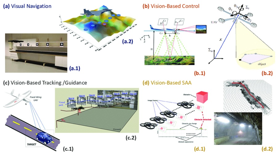
Vision systems rely on line-of-sight, texture, and lighting. Therefore, smoke, dust, snow, heavy rain, or featureless terrain can raise error bars. Adversaries can also use camouflage and decoys to stress matching. However, EO/IR helps at night, and sensor fusion with inertial navigation can stabilize the solution. For the 2026 trials, watch three metrics: time-to-fix in unfamiliar areas, performance in degraded imagery, and how consistently the system maintains a shared reference across air and ground.
References
- https://www.businesswire.com/news/home/20251216330019/en/Niantic-Spatial-and-Vantor-Partner-to-Deliver-Unified-Air-to-Ground-Positioning-in-GPS-Denied-Areas
- https://www.nianticspatial.com/en/blog/vantor
- https://vantor.com/blog/niantic-spatial-and-vantor-partner-to-deliver-unified-air-to-ground-positioning-in-gps-denied-areas/
- https://vantor.com/product/mission-solutions/raptor/